
A Capela topographic map
Interactive map
Click on the map to display elevation.
About this map
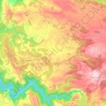
Name: A Capela topographic map, elevation, terrain.
Location: A Capela, O Eume, A Coruña, Galicien, 15613, Spanien (43.40295 -8.10191 43.48003 -7.98159)
Average elevation: 389 m
Minimum elevation: 21 m
Maximum elevation: 658 m
Other topographic maps
Click on a map to view its topography, its elevation and its terrain.