
Cabanas topographic map
Interactive map
Click on the map to display elevation.
About this map
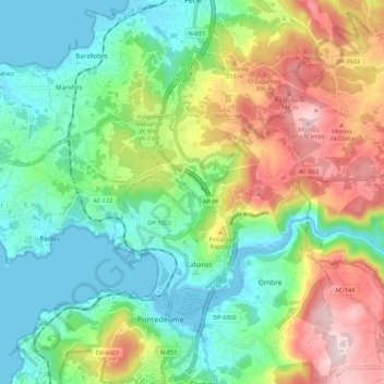
Name: Cabanas topographic map, elevation, terrain.
Location: Cabanas, O Eume, A Coruña, Galicien, Spanien (43.40549 -8.18571 43.46191 -8.07558)
Average elevation: 144 m
Minimum elevation: -1 m
Maximum elevation: 398 m
Other topographic maps
Click on a map to view its topography, its elevation and its terrain.