
Opglabbeek topographic map
Interactive map
Click on the map to display elevation.
About this map
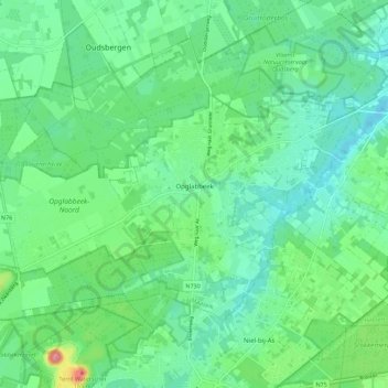
Name: Opglabbeek topographic map, elevation, terrain.
Average elevation: 79 m
Minimum elevation: 50 m
Maximum elevation: 164 m
Other topographic maps
Click on a map to view its topography, its elevation and its terrain.
Gruitrode
Belgium > Limburg > Maaseik > Oudsbergen
Gruitrode, Oudsbergen, Maaseik, Limburg, Flanders, Belgium
Average elevation: 71 m