
Kampot topographic map
Interactive map
Click on the map to display elevation.
About this map
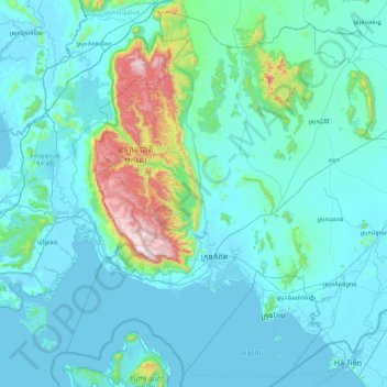
Name: Kampot topographic map, elevation, terrain.
Location: Kampot, Cambodia (10.35362 103.83903 11.17223 104.72708)
Average elevation: 109 m
Minimum elevation: -2 m
Maximum elevation: 1,064 m
Other topographic maps
Click on a map to view its topography, its elevation and its terrain.