
Waldo Township topographic map
Interactive map
Click on the map to display elevation.
About this map
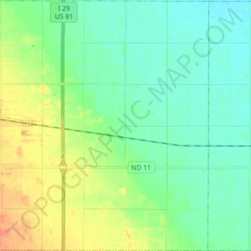
Name: Waldo Township topographic map, elevation, terrain.
Location: Waldo Township, Richland County, North Dakota, United States (46.02257 -96.88762 46.10963 -96.76262)
Average elevation: 308 m
Minimum elevation: 296 m
Maximum elevation: 332 m
Other topographic maps
Click on a map to view its topography, its elevation and its terrain.
Dwight
United States > North Dakota > Richland County
Dwight, Richland County, North Dakota, United States
Average elevation: 290 m