
Dwight topographic map
Interactive map
Click on the map to display elevation.
About this map
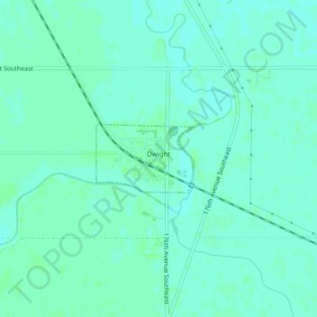
Name: Dwight topographic map, elevation, terrain.
Location: Dwight, Richland County, North Dakota, United States (46.30083 -96.74584 46.30662 -96.73388)
Average elevation: 290 m
Minimum elevation: 287 m
Maximum elevation: 293 m
Other topographic maps
Click on a map to view its topography, its elevation and its terrain.
Waldo Township
United States > North Dakota > Richland County
Waldo Township, Richland County, North Dakota, United States
Average elevation: 308 m