
Kaulsdorf topographic map
Interactive map
Click on the map to display elevation.
About this map
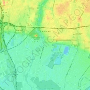
Name: Kaulsdorf topographic map, elevation, terrain.
Location: Kaulsdorf, Marzahn-Hellersdorf, Berlim, 12621, Alemanha (52.47468 13.56344 52.52897 13.62197)
Average elevation: 46 m
Minimum elevation: 30 m
Maximum elevation: 73 m
Other topographic maps
Click on a map to view its topography, its elevation and its terrain.