
Tiergarten topographic map
Interactive map
Click on the map to display elevation.
About this map
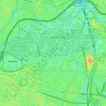
Name: Tiergarten topographic map, elevation, terrain.
Location: Tiergarten, Mitte, Berlim, Alemanha (52.49874 13.33004 52.52281 13.37765)
Average elevation: 39 m
Minimum elevation: 25 m
Maximum elevation: 59 m
Other topographic maps
Click on a map to view its topography, its elevation and its terrain.