
Thank you for supporting this site ❤️
Make a donation
Make a donation
Hunder topographic map
Click on the map to display elevation.
Thank you for supporting this site ❤️
Make a donation
Make a donation
About this map
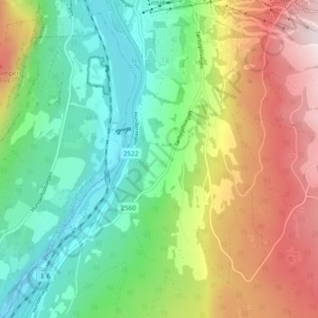
Name: Hunder topographic map, elevation, terrain.
Location: Hunder, Øyer, Innlandet, 2636, Norway (61.19664 10.43128 61.23664 10.47128)
Average elevation: 399 m
Minimum elevation: 140 m
Maximum elevation: 828 m
Thank you for supporting this site ❤️
Make a donation
Make a donation
Other topographic maps
Click on a map to view its topography, its elevation and its terrain.