
Tilley topographic map
Click on the map to display elevation.
About this map
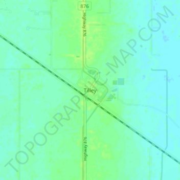
Name: Tilley topographic map, elevation, terrain.
Location: Tilley, County of Newell, Alberta, Canada (50.43090 -111.67231 50.47090 -111.63231)
Average elevation: 750 m
Minimum elevation: 746 m
Maximum elevation: 757 m