
Barranco Oscuro topographic map
Interactive map
Click on the map to display elevation.
About this map
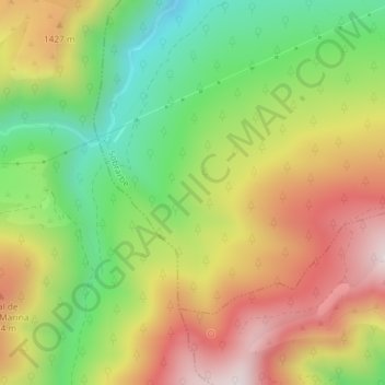
Name: Barranco Oscuro topographic map, elevation, terrain.
Location: Barranco Oscuro, Broto, Sobrarbe, Huesca, Aragón, España (42.51411 -0.18853 42.52209 -0.17142)
Average elevation: 1,299 m
Minimum elevation: 998 m
Maximum elevation: 1,628 m
Other topographic maps
Click on a map to view its topography, its elevation and its terrain.