
Cahuide topographic map
Interactive map
Click on the map to display elevation.
About this map
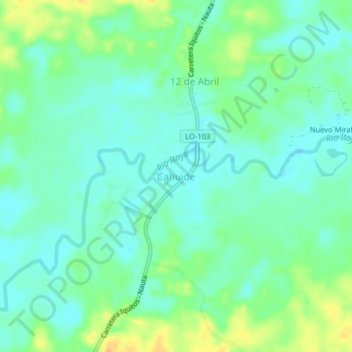
Name: Cahuide topographic map, elevation, terrain.
Location: Cahuide, Provincia de Maynas, Loreto, Perú (-4.24843 -73.50497 -4.20843 -73.46497)
Average elevation: 98 m
Minimum elevation: 87 m
Maximum elevation: 119 m
Other topographic maps
Click on a map to view its topography, its elevation and its terrain.