
Cahuide topographic map
Interactive map
Click on the map to display elevation.
About this map
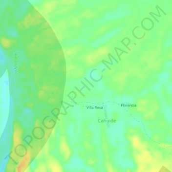
Name: Cahuide topographic map, elevation, terrain.
Location: Cahuide, Provincia de Ucayali, Loreto, Perú (-6.86849 -75.11667 -6.82849 -75.07667)
Average elevation: 124 m
Minimum elevation: 111 m
Maximum elevation: 139 m
Other topographic maps
Click on a map to view its topography, its elevation and its terrain.