
Gunung Sumbing topographic map
Interactive map
Click on the map to display elevation.
About this map
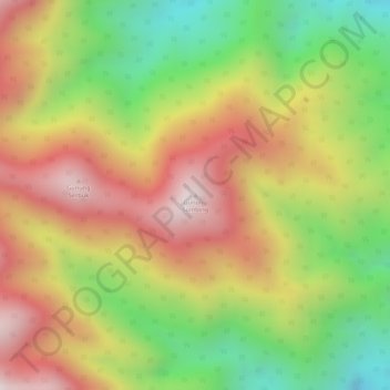
Name: Gunung Sumbing topographic map, elevation, terrain.
Location: Gunung Sumbing, Serbajadi, Aceh Timur, Aceh, Indonésie (4.32245 97.44875 4.32255 97.44885)
Average elevation: 1,218 m
Minimum elevation: 858 m
Maximum elevation: 1,529 m
Other topographic maps
Click on a map to view its topography, its elevation and its terrain.