
Géronsart topographic map
Interactive map
Click on the map to display elevation.
About this map
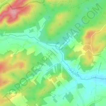
Name: Géronsart topographic map, elevation, terrain.
Average elevation: 205 m
Minimum elevation: 164 m
Maximum elevation: 282 m
Other topographic maps
Click on a map to view its topography, its elevation and its terrain.
Cul-des-Sarts
Belgique > Province de Namur > Philippeville > Couvin
Cul-des-Sarts, Couvin, Philippeville, Province de Namur, Wallonie, 5660, Belgique
Average elevation: 352 m
Brûly-De-Pesche
Belgique > Province de Namur > Philippeville > Couvin
Brûly-De-Pesche, Couvin, Philippeville, Province de Namur, Wallonie, 5660, Belgique
Average elevation: 320 m
Brûly
Belgique > Province de Namur > Philippeville > Couvin
Brûly, Couvin, Philippeville, Province de Namur, Wallonie, 5660, Belgique
Average elevation: 331 m
Presgaux
Belgique > Province de Namur > Philippeville > Couvin
Presgaux, Couvin, Philippeville, Province de Namur, Wallonie, 5660, Belgique
Average elevation: 281 m