
Bernsdorf topographic map
Interactive map
Click on the map to display elevation.
About this map
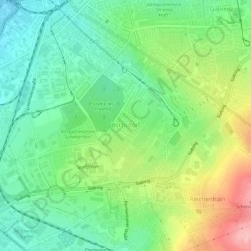
Name: Bernsdorf topographic map, elevation, terrain.
Location: Bernsdorf, Chemnitz, Saxe, Allemagne (50.79423 12.91641 50.82509 12.96110)
Average elevation: 348 m
Minimum elevation: 297 m
Maximum elevation: 440 m
Other topographic maps
Click on a map to view its topography, its elevation and its terrain.