
Sonnenberg topographic map
Interactive map
Click on the map to display elevation.
About this map
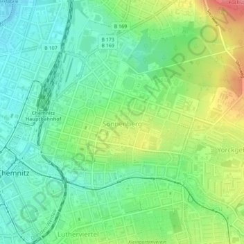
Name: Sonnenberg topographic map, elevation, terrain.
Location: Sonnenberg, Chemnitz, Saxe, 09130, Allemagne (50.83075 12.93003 50.84497 12.96097)
Average elevation: 323 m
Minimum elevation: 291 m
Maximum elevation: 382 m
Other topographic maps
Click on a map to view its topography, its elevation and its terrain.