Geolocate

lidru topographic map

Interactive map

Click on the map to display elevation.

About this map

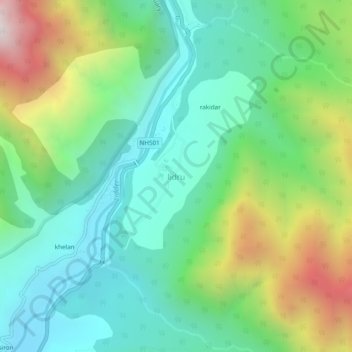
Name: lidru topographic map, elevation, terrain.

Location: lidru, Pahalgam, Anantnag District, Jammu and Kashmir, India (33.94765 75.29766 33.98765 75.33766)

Average elevation: 2,398 m

Minimum elevation: 1,960 m

Maximum elevation: 3,377 m

Other topographic maps

Click on a map to view its topography, its elevation and its terrain.

kolur

India > Jammu and Kashmir > Pahalgam

kolur, Pahalgam, Anantnag District, Jammu and Kashmir, India

Average elevation: 2,017 m

Aru

India > Jammu and Kashmir > Pahalgam

Aru, Pahalgam, Anantnag District, Jammu and Kashmir, India

Average elevation: 2,764 m

Panchtarni

India > Jammu and Kashmir > Pahalgam

Panchtarni, Pahalgam, Anantnag District, Jammu and Kashmir, India

Average elevation: 3,899 m