
Mana topographic map
Click on the map to display elevation.
About this map
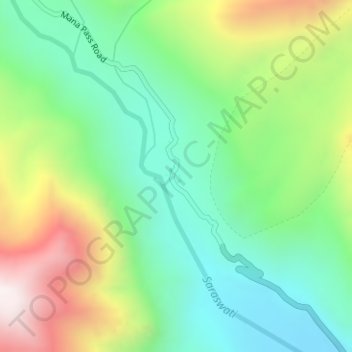
Name: Mana topographic map, elevation, terrain.
Location: Mana, Joshimath Tehsil, Chamoli, Uttarakhand, India (30.96600 79.40952 30.96818 79.41237)
Average elevation: 4,959 m
Minimum elevation: 4,624 m
Maximum elevation: 5,575 m
Other topographic maps
Click on a map to view its topography, its elevation and its terrain.
Ghangaria
India > Uttarakhand > Joshimath Tehsil
Ghangaria is a village in Uttarakhand state of India. It is located at an altitude of 3049 meters.
Average elevation: 3,740 m