
Thank you for supporting this site ❤️
Make a donation
Make a donation
Tapoban topographic map
Click on the map to display elevation.
Thank you for supporting this site ❤️
Make a donation
Make a donation
About this map
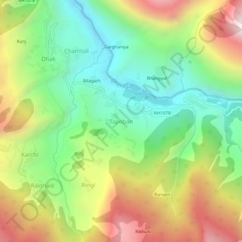
Name: Tapoban topographic map, elevation, terrain.
Location: Tapoban, Joshimath Tehsil, Chamoli, Uttarakhand, India (30.46853 79.60527 30.50853 79.64527)
Average elevation: 2,287 m
Minimum elevation: 1,738 m
Maximum elevation: 3,082 m
Thank you for supporting this site ❤️
Make a donation
Make a donation
Other topographic maps
Click on a map to view its topography, its elevation and its terrain.
Valley of Flowers National Park
India > Uttarakhand > Joshimath Tehsil > Ghangaria
Average elevation: 4,606 m
Thank you for supporting this site ❤️
Make a donation
Make a donation