
Estugarda topographic map
Interactive map
Click on the map to display elevation.
About this map
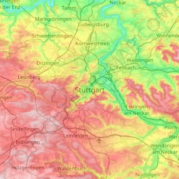
Name: Estugarda topographic map, elevation, terrain.
Average elevation: 353 m
Minimum elevation: 187 m
Maximum elevation: 549 m
Other topographic maps
Click on a map to view its topography, its elevation and its terrain.
Sillenbuch
Alemanha > Baden-Württemberg > Estugarda
Sillenbuch, Estugarda, Baden-Württemberg, 70619, Alemanha
Average elevation: 397 m