
Thank you for supporting this site ❤️
Make a donation
Make a donation
Douron topographic map
Click on the map to display elevation.
Thank you for supporting this site ❤️
Make a donation
Make a donation
About this map
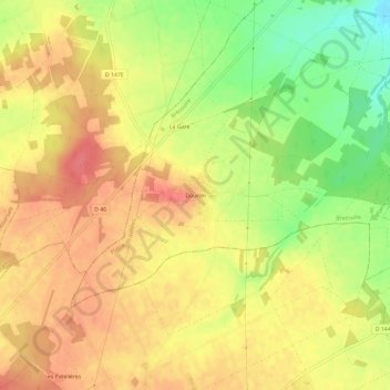
Name: Douron topographic map, elevation, terrain.
Average elevation: 109 m
Minimum elevation: 70 m
Maximum elevation: 134 m
Thank you for supporting this site ❤️
Make a donation
Make a donation
Other topographic maps
Click on a map to view its topography, its elevation and its terrain.
Saint-Jouin-de-Marnes
France > Nouvelle-Aquitaine > Deux-Sèvres > Plaine-et-Vallées
Average elevation: 79 m