
Thank you for supporting this site ❤️
Make a donation
Make a donation
Porum topographic map
Click on the map to display elevation.
Thank you for supporting this site ❤️
Make a donation
Make a donation
About this map
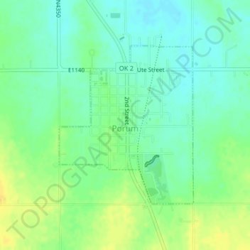
Name: Porum topographic map, elevation, terrain.
Location: Porum, Muskogee County, Oklahoma, 74455, United States (35.34804 -95.27427 35.36513 -95.25648)
Average elevation: 181 m
Minimum elevation: 171 m
Maximum elevation: 194 m
Thank you for supporting this site ❤️
Make a donation
Make a donation
Other topographic maps
Click on a map to view its topography, its elevation and its terrain.