
Jesus Lever-steinen topographic map
Interactive map
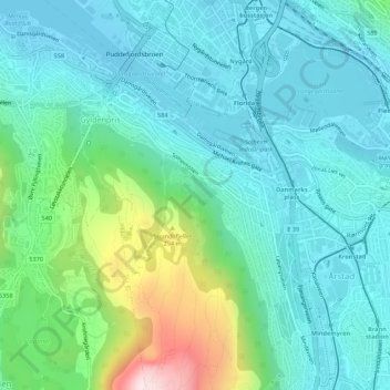
Click on the map to display elevation.
About this map
Name: Jesus Lever-steinen topographic map, elevation, terrain.
Average elevation: 100 m
Minimum elevation: -1 m
Maximum elevation: 469 m
Other topographic maps
Click on a map to view its topography, its elevation and its terrain.
Laksevåg
Laksevåg, Gyldenpris, Bergen, Hordaland, 5056, Norway
Average elevation: 110 m