
Thank you for supporting this site ❤️
Make a donation
Make a donation
Sunset Corner topographic map
Click on the map to display elevation.
Thank you for supporting this site ❤️
Make a donation
Make a donation
About this map
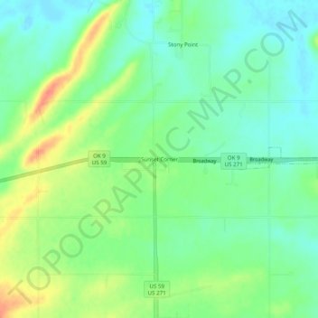
Name: Sunset Corner topographic map, elevation, terrain.
Location: Sunset Corner, Le Flore County, Oklahoma, United States (35.21843 -94.69217 35.25843 -94.65217)
Average elevation: 147 m
Minimum elevation: 129 m
Maximum elevation: 178 m
Thank you for supporting this site ❤️
Make a donation
Make a donation
Other topographic maps
Click on a map to view its topography, its elevation and its terrain.