
Sbiba topographic map
Interactive map
Click on the map to display elevation.
About this map
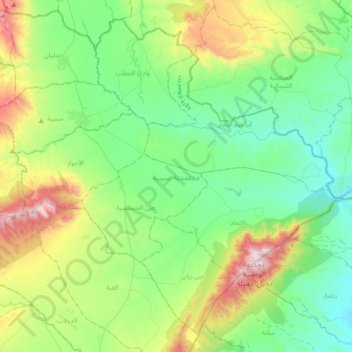
Name: Sbiba topographic map, elevation, terrain.
Location: Sbiba, Kasserine, 1270, Tunisie (35.36444 8.97970 35.62754 9.33939)
Average elevation: 678 m
Minimum elevation: 416 m
Maximum elevation: 1,379 m
Other topographic maps
Click on a map to view its topography, its elevation and its terrain.