
Naigaon topographic map
Interactive map
Click on the map to display elevation.
About this map
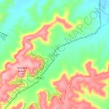
Name: Naigaon topographic map, elevation, terrain.
Location: Naigaon, Patoda, Beed, Maharashtra, India (18.89039 75.58947 18.93039 75.62947)
Average elevation: 662 m
Minimum elevation: 582 m
Maximum elevation: 755 m
Other topographic maps
Click on a map to view its topography, its elevation and its terrain.