
Naigaon Mayur WLS topographic map
Click on the map to display elevation.
About this map
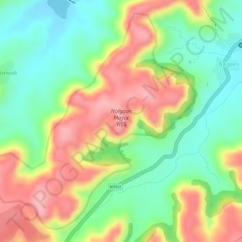
Name: Naigaon Mayur WLS topographic map, elevation, terrain.
Location: Naigaon Mayur WLS, Naigaon, Patoda, Beed, Maharashtra, India (18.89189 75.57836 18.91609 75.60553)
Average elevation: 680 m
Minimum elevation: 610 m
Maximum elevation: 757 m