
Area A (Egmont/Pender Harbour) topographic map
Interactive map
Click on the map to display elevation.
About this map
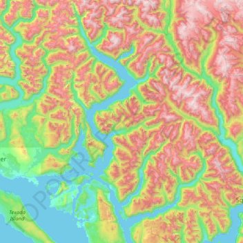
Name: Area A (Egmont/Pender Harbour) topographic map, elevation, terrain.
Average elevation: 849 m
Minimum elevation: 0 m
Maximum elevation: 2,527 m