
International Park topographic map
Interactive map
Click on the map to display elevation.
About this map
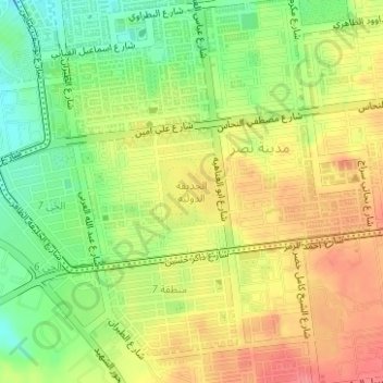
Name: International Park topographic map, elevation, terrain.
Location: International Park, Nasr City, Cairo, Egypt (30.04631 31.33396 30.05163 31.33925)
Average elevation: 119 m
Minimum elevation: 79 m
Maximum elevation: 156 m
Other topographic maps
Click on a map to view its topography, its elevation and its terrain.
El Qattameya City
El Qattameya City, Cairo, 11936, Egypt
Average elevation: 232 m