
El Qattameya City topographic map
Interactive map
Click on the map to display elevation.
About this map
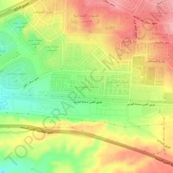
Name: El Qattameya City topographic map, elevation, terrain.
Location: El Qattameya City, Cairo, 11936, Egypt (29.95619 31.38470 29.99619 31.42470)
Average elevation: 232 m
Minimum elevation: 156 m
Maximum elevation: 299 m
Other topographic maps
Click on a map to view its topography, its elevation and its terrain.