
Pinewood topographic map
Click on the map to display elevation.
About this map
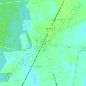
Name: Pinewood topographic map, elevation, terrain.
Location: Pinewood, Sumter County, South Carolina, United States (33.73226 -80.47682 33.74749 -80.45271)
Average elevation: 57 m
Minimum elevation: 52 m
Maximum elevation: 63 m
Other topographic maps
Click on a map to view its topography, its elevation and its terrain.