
Wedgefield topographic map
Click on the map to display elevation.
About this map
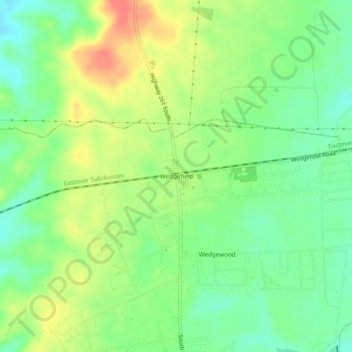
Name: Wedgefield topographic map, elevation, terrain.
Average elevation: 72 m
Minimum elevation: 47 m
Maximum elevation: 104 m
Other topographic maps
Click on a map to view its topography, its elevation and its terrain.
Wedgewood
United States > South Carolina > Sumter County > Wedgefield > Wedgewood
Average elevation: 61 m