
Engelberger Aa topographic map
Interactive map
Click on the map to display elevation.
About this map
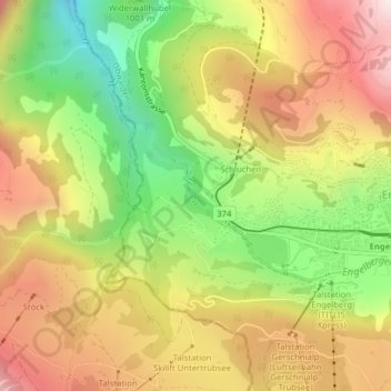
Name: Engelberger Aa topographic map, elevation, terrain.
Location: Engelberger Aa, Engelberg, Obwalden, 6390, Schweiz (46.82196 8.38261 46.82250 8.38297)
Average elevation: 1,129 m
Minimum elevation: 697 m
Maximum elevation: 1,544 m
Other topographic maps
Click on a map to view its topography, its elevation and its terrain.