
Grafenort topographic map
Interactive map
Click on the map to display elevation.
About this map
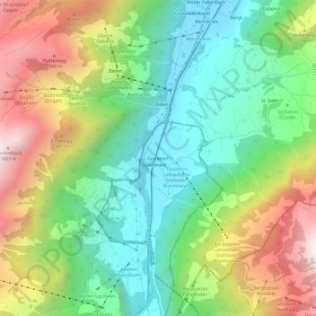
Name: Grafenort topographic map, elevation, terrain.
Location: Grafenort, Engelberg, Obwalden, 6388, Schweiz (46.85002 8.35270 46.89002 8.39270)
Average elevation: 1,049 m
Minimum elevation: 532 m
Maximum elevation: 1,888 m