
Raten topographic map
Interactive map
Click on the map to display elevation.
About this map
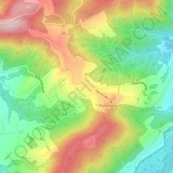
Name: Raten topographic map, elevation, terrain.
Location: Raten, Oberägeri, Zug, 6315, Schweiz (47.14175 8.66324 47.14185 8.66334)
Average elevation: 1,030 m
Minimum elevation: 890 m
Maximum elevation: 1,196 m
Der Raten ist ein Pass im Schweizer Kanton Zug zwischen den Orten Oberägeri und Biberbrugg. Die Passhöhe liegt auf 1077 m.
Other topographic maps
Click on a map to view its topography, its elevation and its terrain.