
Ägerisee topographic map
Interactive map
Click on the map to display elevation.
About this map
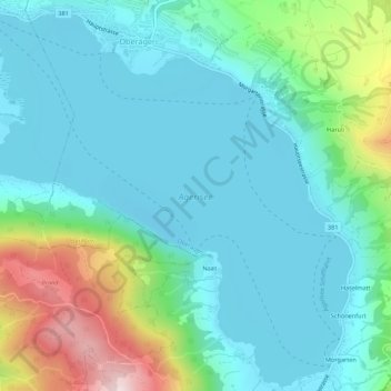
Name: Ägerisee topographic map, elevation, terrain.
Location: Ägerisee, Naasstrasse, Oberägeri, Zug, 6315, Schweiz (47.10189 8.58868 47.13822 8.64321)
Average elevation: 824 m
Minimum elevation: 715 m
Maximum elevation: 1,200 m
Other topographic maps
Click on a map to view its topography, its elevation and its terrain.