
Gleason topographic map
Interactive map
Click on the map to display elevation.
About this map
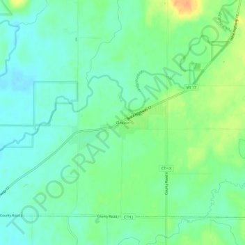
Name: Gleason topographic map, elevation, terrain.
Average elevation: 445 m
Minimum elevation: 432 m
Maximum elevation: 468 m
Other topographic maps
Click on a map to view its topography, its elevation and its terrain.
Merrill
United States > Wisconsin > Lincoln County
Merrill, Lincoln County, Wisconsin, 54452, United States
Average elevation: 398 m
Irma
United States > Wisconsin > Lincoln County
Irma, Town of Birch, Lincoln County, Wisconsin, 54442, United States
Average elevation: 465 m
Tomahawk
United States > Wisconsin > Lincoln County
Tomahawk, Lincoln County, Wisconsin, United States
Average elevation: 443 m