
Thank you for supporting this site ❤️
Make a donation
Make a donation
Pleasant Grove topographic map
Click on the map to display elevation.
Thank you for supporting this site ❤️
Make a donation
Make a donation
About this map
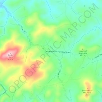
Name: Pleasant Grove topographic map, elevation, terrain.
Location: Pleasant Grove, Burke County, North Carolina, United States (35.61374 -81.60370 35.65374 -81.56370)
Average elevation: 442 m
Minimum elevation: 354 m
Maximum elevation: 611 m
Thank you for supporting this site ❤️
Make a donation
Make a donation
Other topographic maps
Click on a map to view its topography, its elevation and its terrain.