
水峪村 topographic map
Interactive map
Click on the map to display elevation.
About this map
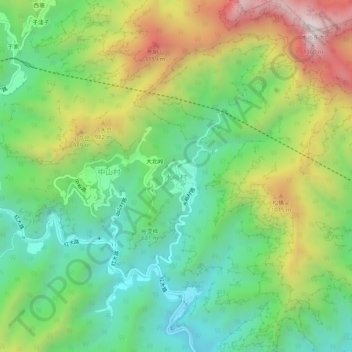
Name: 水峪村 topographic map, elevation, terrain.
Location: 水峪村, 房山区, 北京市, 中国 (39.85934 115.79871 39.89934 115.83871)
Average elevation: 676 m
Minimum elevation: 295 m
Maximum elevation: 1,321 m
Other topographic maps
Click on a map to view its topography, its elevation and its terrain.