
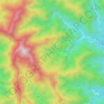
张石堂 topographic map
Interactive map
Click on the map to display elevation.
About this map
Name: 张石堂 topographic map, elevation, terrain.
Location: 张石堂, 富合村, 房山区, 北京市, 中国 (39.71303 115.48101 39.75303 115.52101)
Average elevation: 854 m
Minimum elevation: 490 m
Maximum elevation: 1,320 m