
Kancabchén topographic map
Interactive map
Click on the map to display elevation.
About this map
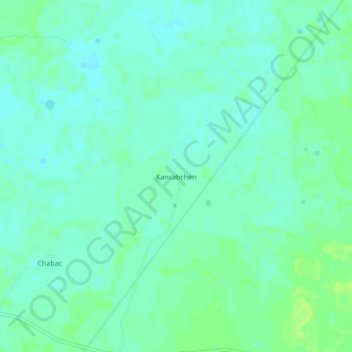
Name: Kancabchén topographic map, elevation, terrain.
Location: Kancabchén, Tunkás, Yucatán, México (20.90084 -88.83471 20.94084 -88.79471)
Average elevation: 13 m
Minimum elevation: 8 m
Maximum elevation: 19 m
Other topographic maps
Click on a map to view its topography, its elevation and its terrain.