
Thank you for supporting this site ❤️
Make a donation
Make a donation
Sterling topographic map
Click on the map to display elevation.
Thank you for supporting this site ❤️
Make a donation
Make a donation
About this map
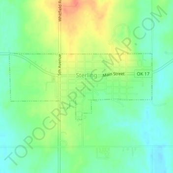
Name: Sterling topographic map, elevation, terrain.
Location: Sterling, Comanche County, Oklahoma, 73567, United States (34.74337 -98.18642 34.75374 -98.15930)
Average elevation: 372 m
Minimum elevation: 353 m
Maximum elevation: 398 m
Thank you for supporting this site ❤️
Make a donation
Make a donation
Other topographic maps
Click on a map to view its topography, its elevation and its terrain.
Thank you for supporting this site ❤️
Make a donation
Make a donation
Thank you for supporting this site ❤️
Make a donation
Make a donation
Thank you for supporting this site ❤️
Make a donation
Make a donation