
Thank you for supporting this site ❤️
Make a donation
Make a donation
Liuzhou City topographic map
Click on the map to display elevation.
Thank you for supporting this site ❤️
Make a donation
Make a donation
About this map
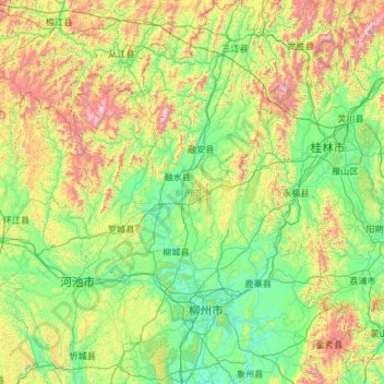
Name: Liuzhou City topographic map, elevation, terrain.
Location: Liuzhou City, Guangxi, China (23.90821 108.58360 26.05097 110.17295)
Average elevation: 433 m
Minimum elevation: 53 m
Maximum elevation: 2,039 m
Thank you for supporting this site ❤️
Make a donation
Make a donation
Other topographic maps
Click on a map to view its topography, its elevation and its terrain.