
Thank you for supporting this site ❤️
Make a donation
Make a donation
Page topographic map
Click on the map to display elevation.
Thank you for supporting this site ❤️
Make a donation
Make a donation
About this map
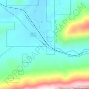
Name: Page topographic map, elevation, terrain.
Location: Page, Le Flore County, Oklahoma, United States (34.69066 -94.56967 34.73066 -94.52967)
Average elevation: 388 m
Minimum elevation: 260 m
Maximum elevation: 765 m
Thank you for supporting this site ❤️
Make a donation
Make a donation
Other topographic maps
Click on a map to view its topography, its elevation and its terrain.