Geolocate

Kingsbury topographic map

Interactive map

Click on the map to display elevation.

About this map

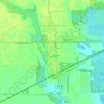
Name: Kingsbury topographic map, elevation, terrain.

Location: Kingsbury, LaPorte County, Indiana, 46345, United States (41.51760 -86.70340 41.53915 -86.69048)

Average elevation: 227 m

Minimum elevation: 218 m

Maximum elevation: 233 m

Other topographic maps

Click on a map to view its topography, its elevation and its terrain.

Michigan City

United States > Indiana > LaPorte County

Michigan City, LaPorte County, Indiana, United States

Average elevation: 188 m

Fish Lake

United States > Indiana > LaPorte County

Fish Lake, LaPorte County, Indiana, 46365, United States

Average elevation: 215 m

Trail Creek

United States > Indiana > LaPorte County

Trail Creek, LaPorte County, Indiana, United States

Average elevation: 194 m

Fish Creek

United States > Indiana > LaPorte County

Fish Creek, LaPorte County, Indiana, 46365, United States

Average elevation: 217 m

Long Beach

United States > Indiana > LaPorte County

Long Beach, LaPorte County, Indiana, United States

Average elevation: 184 m

La Porte

United States > Indiana > LaPorte County

La Porte, LaPorte County, Indiana, 46350, United States

Average elevation: 247 m