
安沟村 topographic map
Interactive map
Click on the map to display elevation.
About this map
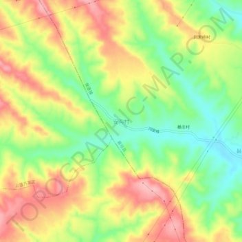
Name: 安沟村 topographic map, elevation, terrain.
Location: 安沟村, 长治市, 山西省, 中国 (36.39721 112.88797 36.43721 112.92797)
Average elevation: 1,003 m
Minimum elevation: 932 m
Maximum elevation: 1,075 m
Other topographic maps
Click on a map to view its topography, its elevation and its terrain.