
Thank you for supporting this site ❤️
Make a donation
Make a donation
Kellas topographic map
Click on the map to display elevation.
Thank you for supporting this site ❤️
Make a donation
Make a donation
About this map
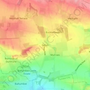
Name: Kellas topographic map, elevation, terrain.
Location: Kellas, Angus, Scotland, DD5 3GX, United Kingdom (56.48912 -2.90383 56.52912 -2.86383)
Average elevation: 95 m
Minimum elevation: 34 m
Maximum elevation: 151 m
Thank you for supporting this site ❤️
Make a donation
Make a donation