
Thank you for supporting this site ❤️
Make a donation
Make a donation
Lankaran topographic map
Click on the map to display elevation.
Thank you for supporting this site ❤️
Make a donation
Make a donation
About this map
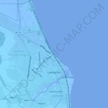
Name: Lankaran topographic map, elevation, terrain.
Location: Lankaran, Lankaran-Astara, 4200, Azerbaijan (38.73177 48.79342 38.79800 48.86922)
Average elevation: -25 m
Minimum elevation: -29 m
Maximum elevation: -6 m
Thank you for supporting this site ❤️
Make a donation
Make a donation
Other topographic maps
Click on a map to view its topography, its elevation and its terrain.