
Fish Bay topographic map
Interactive map
Click on the map to display elevation.
About this map
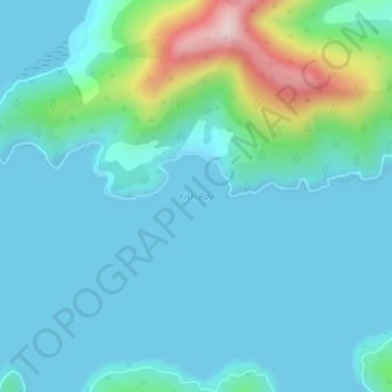
Name: Fish Bay topographic map, elevation, terrain.
Location: Fish Bay, Marlborough, Nouvelle-Zélande (-41.17866 174.05948 -41.17856 174.05958)
Average elevation: 62 m
Minimum elevation: 0 m
Maximum elevation: 382 m
Other topographic maps
Click on a map to view its topography, its elevation and its terrain.
Lees Creek
Nouvelle-Zélande > Marlborough
Lees Creek, Marlborough, Nouvelle-Zélande
Average elevation: 1,413 m